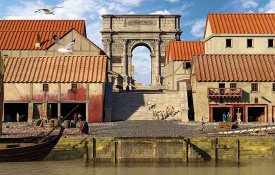
A Changing Landscape
Two thousand years ago the geography of this area was very different. The Wantsum, a sea channel up to 3 miles wide, cut off the Isle of Thanet from the mainland, and the Roman fort of Reculver stood on a promontory at the north end of the channel where it joined the Thames estuary. Today the Wantsum has silted up and become dry land.

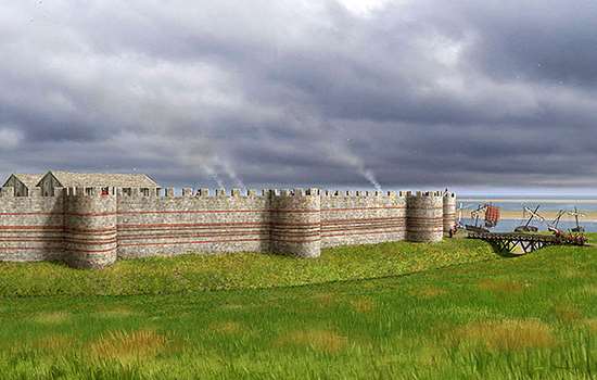
The southern half of the Roman fort at Reculver survives as ruined walls and earthworks.
The core of the enclosing wall, which would originally have been topped with a wall walk and parapet, is mainly flint and in parts survives to a height of almost 3 metres (10 feet). It can be best appreciated by walking around the outer perimeter of the fort. It was originally faced with squared greensand blocks, but these have almost all disappeared.
There were originally four gateway entrances – one through the centre of each side of the defences. Roughly in the centre of the east wall was the east gate, which consisted of a single carriageway 2.7 metres (9 feet) wide contained within a masonry arch and with a single guard chamber to the north. Tiles in the walls enclosing the guard chamber may represent a later rebuilding. The south gate in the middle of the south wall was of similar form.
Several buildings from the interior of the fort are known, including barracks, a bath-house and the headquarters building. No traces of these buildings, however, remain above ground.
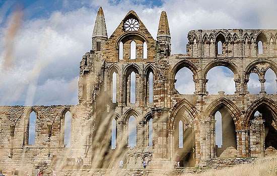
The earliest monastic church on the site, founded in the 7th century, survives in the form of buried foundations, which are marked out in modern concrete, and as standing ruins incorporated in the later parish church. The early walling incorporated reused Roman tiles, bricks and rubble masonry.