BECK, Harry (1902-1974)
Plaque erected in 2013 by English Heritage at 14 Wesley Road, Leyton, London, E10 6JF, London Borough of Waltham Forest
All images © English Heritage
Profession
Graphic Artist and Map Designer
Category
Applied Arts
Inscription
HARRY BECK 1902-1974 Designer of the London Underground map was born here
Material
Ceramic
Notes
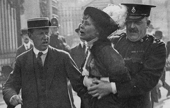
Other London Underground figures commemorated with plaques are Frank Pick, Edward Johnston, and Albert Henry Stanley, Lord Ashfield.
Harry Beck was the designer of the iconic London Underground map. First published in 1933, the map has since influenced the design of many Metro maps across the globe.
PURE GEOMETRY
Over 80 years since its public debut, Beck’s London Underground map – a ‘brave step in pure geometry’ – remains the template for the map used today. At first rejected by Underground management for being too revolutionary, it proved to be an enormous success with the public, with the simplicity of Beck’s design being key to its appeal.
Some 850,000 pocket-sized copies of the ‘diagram’ were printed in the first two months of 1933, and in March of that year Beck produced the first quad royal (40 by 50 inches) poster versions of the map. A new, easy to understand, way of navigating the city was born.
EARLY YEARS
Beck was born in Leyton, the son of Joshua and Eleanor Beck, who themselves had been born and raised in nearby West Ham. He spent about the first two years of his life living in the small terraced house at 14 Wesley Road, Leyton, which was then newly built.
By 1911 the Beck family had moved to Highgate, where the young Harry was educated at Grove House School. He attended art classes locally and studied marble sculpture in Italy.
MAKING THE MAP
By 1925 Beck had started working on a contract for London Transport as an engineering draughtsman. During one spell between jobs, in 1931, he produced his first design for a diagrammatic map.
He took the existing geographically based map and straightened the distinctive colourful lines – the ‘vermicelli’, as he later called them – to verticals, horizontals or 45 degree diagonals. The typeface used was a variant of Edward Johnston’s distinctive ‘Underground Railway Sans’ of 1916, and the only topographical feature shown was a schematised River Thames.
Beck continued to update the map as new stations and lines came into service, and even after he left the employment of London Transport he still worked on the diagram in a freelance capacity. It is thought he was only paid five guineas (£5.25) for the original design.
UNSEEN DESIGNS
Beck’s last version of the map was published in 1960, after which a simmering dispute over its remodelling by other designers led to an unbridgeable rift with his former employers. Despite this he continued to work on updated designs on his own, featuring the new Victoria Line as a neat diagonal in lilac. These were never used, and nor were the elegant prototypes he produced for a map of the Paris Metro.
Beck was notably ahead of the game in producing a version of his London map showing all train services, underground and overground, as early as 1938. This was then deemed too complex for publication, but an integrated diagrammatic map of this sort is now ubiquitous.