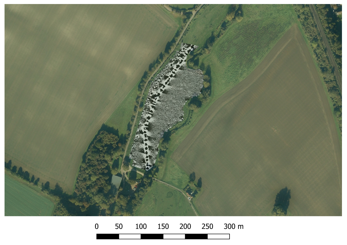
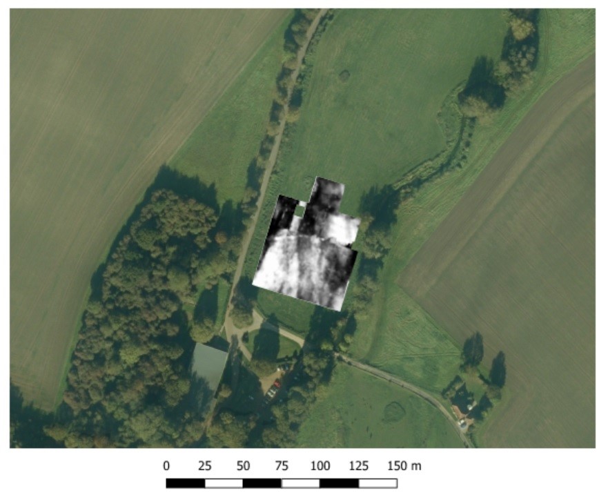
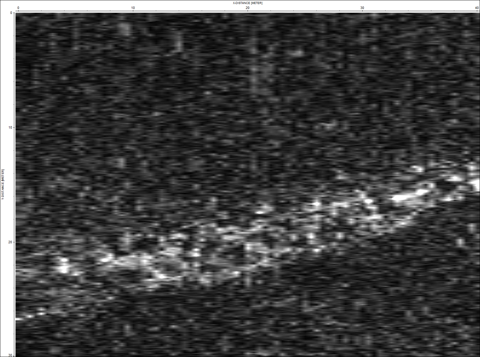
Geophysical Surveys
Geophysical surveys help archaeologists map features in the ground. They use sensors to find hidden remains underground without having to dig.
What kinds of methods are there?
Archaeologists use lots of different methods to do geophysical surveys. This includes using technology like magnetometers, electrical resistance meters or ground-penetrating radar.
Watch our short video and click on the images below to find out more.