History of Chester Castle
Chester Castle was founded by William the Conqueror in 1070 and became the administrative centre of the earldom of Chester. The first earth and timber ‘motte-and-bailey’ castle probably only occupied the area of the inner bailey. In the 12th century it was rebuilt in stone and the outer bailey added.

In 1237 the last earl died and the castle, with the earldom, was taken over by the king. In 1265, during the Barons’ War, it was held for ten weeks by supporters of Simon de Montfort against the men of Prince Edward, son of Henry III.
During the reigns of Henry III and Edward I the castle served as the military headquarters for the conquest of Wales and much building was carried out, especially in the outer bailey. In the later medieval period the monarch rarely stayed at the castle, but it continued to serve as the centre for county administration.
During the Civil War (1642–6) it was the headquarters of the Royalist governor, John, Lord Byron. Subsequently a permanent garrison was stationed there, and between 1788 and 1813 the outer bailey was completely rebuilt in the neoclassical style. The buildings still serve as the county hall, courts and regimental museum, but the military finally withdrew in 1999.
Description
Chester Castle lies in the south-west part of the walled city. In the Middle Ages it consisted of an outer bailey – remodelled at the beginning of the 19th century – and an inner bailey. All the remaining medieval parts lie in what was formerly the inner bailey, reached through an archway at the far right-hand corner of the parade ground.
In the inner bailey, the imposing building in front of you is Napier House, built in 1830 as an armoury and barracks. On your left is the guardroom, housing a display on the history of the castle. Behind it stands the 12th-century Agricola Tower, the original gateway to the castle. The blocked passage arch is still visible.
On its first floor is the chapel of St Mary de Castro, which contains the remains of some high-quality wall paintings of about 1240. The heavy, copper-plated door dates from the early 19th century, when the chapel was used as a gunpowder store.
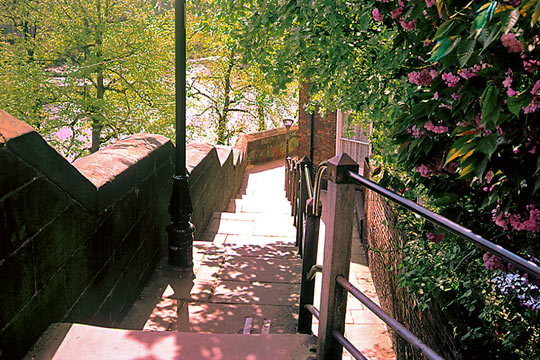
By leaving the tower and climbing the stairs onto the walls, you can appreciate the location of the castle within the city. Below, to your left, is the Old Dee Bridge, the traditional route into north Wales, and around to your right is the Roodee, the silted-up port area of Chester. Behind Napier House is a gun platform, built for defence in 1745 in response to the Jacobite rising of Bonnie Prince Charlie. Note the steps leading down to the sally port.
Continue to the top of the ramp that leads back down into the courtyard of the inner bailey. This raised area incorporates the Norman ‘motte’ or mound of the original castle (best viewed from outside the castle). To your left, on the site of the original keep, stands the square medieval Flag Tower. The white-painted building beside it is the Frobisher’s or Furbisher’s House, named after the officer charged with overseeing the storage of weapons at the castle.
Further Reading
Brown, RA, Colvin, HM and Taylor, AJ, The History of the King's Works, vol 2: The Middle Ages (London, 1963), 607–12
Ellis, P, et al, Excavations at Chester, Chester Castle: The Seventeenth-century Armoury and Mint. Excavation and Building Recording in the Inner Ward 1979–82, Chester Archaeology Excavation Survey Report 10 (1996)


