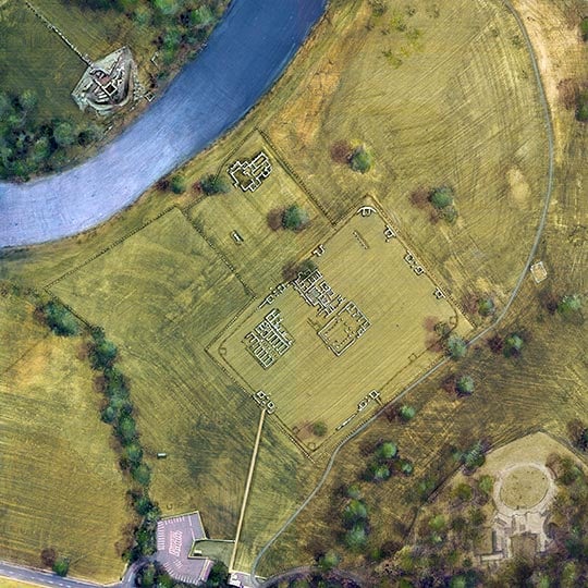
Research on Chesters Bridge Abutment
The remains of the west abutment and piers seem always to have been visible when the river was low, and were noted by many antiquaries from the late 16th century onwards.

Early Excavation
In 1851 the first plan of the visible remains was published. It was subsequently realised that part of the bridge continued under the present east bank of the river. From 1860 to early in 1863, this part of the bridge was excavated and surveyed by William Coulson and others in collaboration with John Clayton of Chesters. The site has remained open ever since.
Recent Research
Further work on this part of the bridge was carried out by FG Simpson in 1946[1] and by Paul Bidwell and Neil Holbrook in 1982–3.[2] Excavations by Paul Bidwell and Bill Griffiths in 1990–91 on the opposite bank of the river uncovered the western ramp for the approach road and confirmed the existence of a tower on this side of the bridge.[3] Understanding of the history and architecture of the bridge partly depends on the results of previous excavations of the bridges at Corbridge and Willowford.
Research Gaps
A great deal remains to be discovered about the setting of the bridge at Chesters, particularly its relationship with the two main east–west routes behind Hadrian’s Wall – the Stanegate and the Military Way – and with the roads leading to the main and lesser east gates of the fort.
READ MORE ABOUT CHESTERS BRIDGE ABUTMENT
Footnotes
1. FG Simpson, Watermills and Military Works on Hadrian’s Wall: Excavations in Northumberland 1907–1913, ed G Simpson (Kendal, 1976), 44–9.
2. PT Bidwell and N Holbrook, Hadrian’s Wall Bridges, English Heritage Archaeological Report 9 (London, 1989).
3. PT Bidwell, ‘Chesters – Cilurnum: the bridge’, in Hadrian’s Wall 1989–1999, ed P Bidwell (Kendal, 1999), 119–20.