Origins and development
The village of ‘Gamelstorp’ is listed in the Domesday Book of 1086. The Norman lord was Ivo Taillebois, and the Saxon lord at the time of the Norman Conquest, 20 years earlier, was Ulgar. The small village or hamlet was assessed for tax as having just one carucate (the notional amount of land that a plough team of eight oxen could till in a year) of arable land.
By 1208, when ‘Gameslestorp’ was listed in a royal ‘fines’ document (a list of legal land tenure agreements), the village seems to have been rather larger. There were at least 19 fields surrounding the village, occupying 108 acres (44 hectares), not including the communally farmed open fields. The village also had a chapel, a windmill and a bridge.
The documentary evidence does not, unfortunately, reveal how the village declined or precisely when it was deserted. Land at Gainsthorpe was granted to the small priory of Newstead-on-Ancholme (a few miles north-east of the village) in 1343. The population may well have declined as a result of the Black Death of 1348–9. However, village land was part of the estate of the Duchy of Cornwall by the late 14th and 15th centuries, suggesting that some village farms survived, even if the village itself had shrunk.
The village deserted
The village was certainly deserted by 1616 when a survey for the Duchy of Cornwall noted ‘neither tofte, tenement or cottage standing’.
At the end of the 17th century the Yorkshire antiquary Abraham de la Pryme visited the site. In two separate and slightly contradictory descriptions, he noted the ruined foundations of about 200 buildings in three abandoned streets (in 1697), or about 100 buildings in five or six streets (in 1699).
Asking local people for further information, de la Pryme learned that a land parcel called Church Garth – presumably the site of the vanished village chapel – lay about 200 yards (180 metres) south-west of the ruins, on the left side of the road leading to Gainsthorpe from Kirton. The position of the church is uncertain: the 1616 surveyor thought that its ruins lay to the north of the remains of the village, near a surviving farmhouse.
De la Pryme recorded a local tradition that Tudor robbers who used the village as a base were driven out by the inhabitants of other local villages, thus causing the total abandonment of Gainsthorpe. He added, however, that in his view the village had probably been abandoned to sheep pasture, part of a regional shift from arable (crop-growing) to more profitable pastoral agriculture.
Explore the village
The map below explains key features of the medieval village. To see a larger version, select the ‘View larger map’ icon in the top right corner. If you are using a phone and have Google Maps installed, the map will open in the app (iPhone users may need to be logged into a Google account).
To use the map to navigate on site, make sure you have turned on location tracking.
Map created with the assistance of Historic England
Description of the village
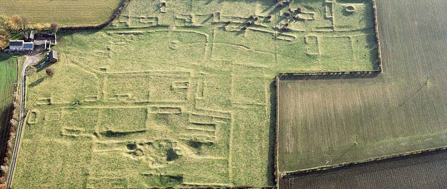
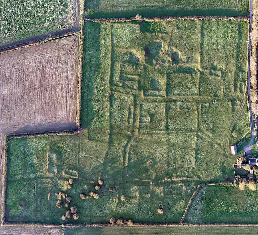
Many elements of the deserted village survive as earthworks in the grassed field, as raised ridges and sunken hollows.
There are three or four roads, visible as hollow ways with earthen banks on either side of a sunken track. There are at least 25 buildings, laid out in about 15 ‘crofts’ (enclosures) beside the two east–west lanes. Each croft was probably occupied by a family and used as a garden. The stone buildings or ‘tofts’ survive as rectangular grassed-over wall-footings: the smaller buildings, about 20 to 30 feet (6 to 10 metres) long, are houses, while the larger buildings, up to 55 feet (17 metres) long, are barns.
A further 20 or so quarter-acre (0.1 hectare) enclosures without houses are probably paddocks for keeping livestock. In the south-west corner of the site there are traces of a cluster of farm buildings including a circular dovecote (for keeping pigeons) and a rectangular pond. This may have been the manor house for the senior tenant farmer.
The faint traces of parallel ridges in the north of the site suggest that the village had open fields of communally farmed ‘ridge and furrow’ lying beyond the private crofts and enclosures of the village.
A series of irregular hollows in the north of the site are quarry pits. They seem to respect (rather than dig through) the croft boundaries, suggesting that they were dug several centuries ago when the banks were much larger, perhaps in the 16th or 17th century.
Other parts of the village – including the vanished chapel and windmill – must survive under the ploughed fields to the south and west. The early 19th-century Gainsthorpe Farm, beside the deserted village (and in private ownership), has some ruined outbuildings and earlier boundary walls, suggesting that at least one farm has always survived here. Gainsthorpe has never quite been deserted.
Further reading
‘Gainsthorpe medieval rural settlement’, Historic England Scheduled Ancient Monument listing (accessed 6 Nov 2019)
Description of the village in 1208 ‘Feet of Fines’ legal record, published in Abstracts of Final Concords, temp. Richard I, John, and Henry III, Lincolnshire Records series 1 (1896), p 81 (accessed 6 Nov 2019)
Thomas Smith, ‘Enclosure & agricultural improvement in north-west Lincolnshire from circa 1600 to 1850’ (PhD thesis, University of Nottingham, 2012), [transcription of the 1616 survey of the village on p 150] (PDF; accessed 6 Nov 2019)
Abraham de la Pryme, The Diary of Abraham de la Pryme, the Yorkshire Antiquary, Surtees Society 54 (1869) [see pages 127–8 and 211 for descriptions of the abandoned village in 1697 and 1699] (accessed 6 Nov 2019)
Related content
-
History of Wharram Percy Deserted Medieval Village
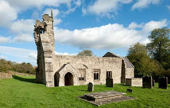
The ruined church is the last standing medieval building at Wharram Percy in North Yorkshire, a village continuously occupied for about 600 years before its desertion.
-
History of Hound Tor Deserted Medieval Village
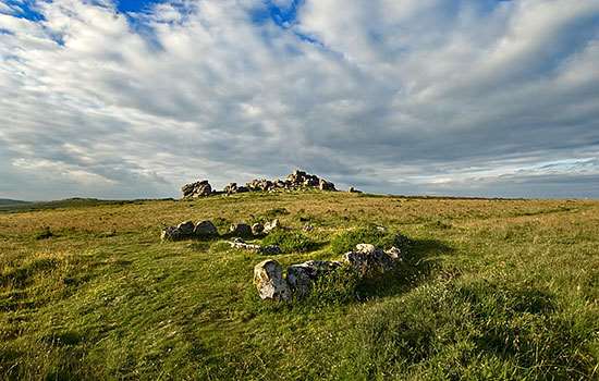
The fine remains of this abandoned and isolated settlement lie on the eastern edge of Dartmoor in Devon.
-
MORE HISTORIES
Delve into our history pages to discover more about our sites, how they have changed over time, and who made them what they are today.

